 geocatalogue.geoportail.lu
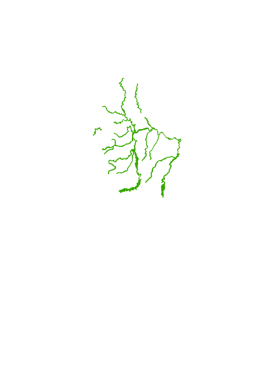
Cross sections
These are cross sections that where taken every 100m for the fifteen TIMIS rivers.
Simple
- Date (Revision)
- 2013-12-01T00:00:00
- Citation identifier
- / e308bb4d-3d06-4fb3-959a-ee54537a5689
- Presentation form
- Digital map
- Status
- On going
- Point of contact
-
Organisation name Individual name Electronic mail address Role Administration de la gestion de l'eau
Division de l'hydrologie
Point of contact
- Maintenance and update frequency
- As needed
-
Entités au Grand-Duché de Luxembourg
-
-
Grand-Duché du Luxembourg
-
- Keywords
-
- Keywords
-
-
Cross sections
-
geoportail.lu
-
-
geoportail.lu themes
-
-
Water
-
Lenoz
-
Main
-
-
geoportail.lu structure
-
-
Water>Floods directive [FD]>Additional Informations
-
Lenoz>Floods directive [FD]>Additional Informations
-
Main>Environment, Biology and Geology>Floods directive [FD]>Additional Informations
-
- Use constraints
- Other restrictions
- Other constraints
-
Creative Commons 1.0 Universal (CC0 1.0) Public Domain Dedication
- Spatial representation type
- Vector
- Denominator
- 0
- Language
- Deutsch
- Character set
- UTF8
- Topic category
-
- Environment
- Geoscientific information
- Inland waters
))
- Reference system identifier
- EPSG / http://www.opengis.net/def/crs/EPSG/0/2169
- Distribution format
-
Name Version DXF
PDF
- OnLine resource
-
Protocol Linkage Name WWW:LINK-1.0-http--link
https://data.public.lu/fr/datasets/cross-sections/
- OnLine resource
-
Protocol Linkage Name https://map.geoportail.lu/theme/main?version=3&zoom=8&X=667917&Y=6394482&lang=fr&layers=584&opacities=1 Cross sections 2013
- Statement
-
Issus du projet Interreg III B TIMIS flood (Transnational Internet Map Information System on Flooding) ainsi que de projets de renaturation réalisés depuis 2009 et de compagnes de mesures réalisées en 2011 dans le cadre de l'établissement des cartes des zones inondables
Metadata
- File identifier
- e308bb4d-3d06-4fb3-959a-ee54537a5689 XML
- Metadata language
- Français
- Character set
- UTF8
- Hierarchy level
- Dataset
- Hierarchy level name
-
dataset
- Date stamp
- 2021-03-04T07:26:54
- Metadata standard name
-
ISO 19115:2003/19139
- Metadata standard version
-
1.0
- Metadata author
-
Organisation name Individual name Electronic mail address Role Administration de la gestion de l'eau
Division de l'hydrologie
Point of contact
- Other language
-
Language Character encoding Luxembourgish; Letzeburgesch UTF8 English UTF8 German UTF8 French UTF8
)))