 geocatalogue.geoportail.lu
Cadastre des biotopes des milieux ouverts
Offeland-Biotopkadaster
Biotope cadaster of the open landscapes
Offenland-Biotopkataster
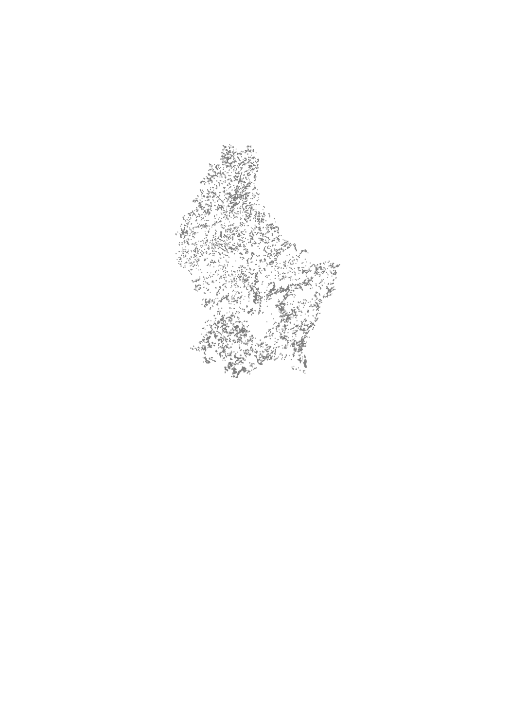
Le cadastre des biotopes du milieu ouvert est une cartographie des habitats d’intérêt communautaire et des biotopes rares qui sont protégés par l’article 17 de la Loi du 18 juillet 2018 concernant la protection de la nature et des ressources naturelles. Cet inventaire constitue une aide à l’identification et la localisation des habitats et biotopes rares et menacés dont la reconnaissance sur le terrain est difficile ou ambiguë. Les biotopes clairement identifiables tels que les haies, broussailles et bosquets, de même que les cours d’eau n’ont pas été cartographiés dans le cadre de cet inventaire, mais sont également soumis au régime de protection stricte imposé par l’article 17. Les mesures de réduction, de destruction ou de détérioration qui sont interdites sont précisées dans le Règlement grand-ducal du 1er aout 2018 établissant les biotopes protégés, les habitats d’intérêt communautaire et les habitats d’espèces d’intérêt communautaire pour lesquels l’état de conservation a été évalué non favorable.
Den Oppelandbiotopkadaster ass eng Karteirerung vu seelenen a bedreete Biotopen an Habitaten aus dem Oppeland, déi iwwert den Artikel 17 vum Naturschutzgesetz vum 18 Juli 2018 geschützt sinn. Des Opnam hëlleft, seelen a menacéiert Liewensraim a Biotoper, déi um Terrain schwéier ze erkenne sinn, ze identifizéieren an ofzegrenzen. Eendeiteg erkennbar Biotope wéi Hecken, Gestrëpp a Feldgehölzer, souwéi Baachen, goufen am Kader vun dëser Bestandsopnam net kartéiert. Si ënnerleien awer dem strenge Schutz vum Artikel 17. D ‘Moossnamen, déi als Reduktioun, Zerstéierung oder Verschlechterung gëllen a gesetzlech verbuede sinn, ginn an der Groussherzoglecher Veruerdnung vum 1 August 2018 iwwert Definitioun vu geschützte Biotopen, Liewensraim vun europäescher Bedeitung a Liewensraim vun Aarte vun europäescher Bedeitung mat engem ongënschtege Konservatiounszoustand gekläert.
The biotope cadaster of the open landscapes is a cartography of rare and threatened habitats of the rural area in open landscapes, which are protected by article 17 of the law of 18 July 2018 concerning the protection of nature and natural resources. This inventory aims to determine and locate rare and threatened habitats and biotopes whose identification in the field is difficult or ambiguous. Clearly identifiable biotopes such as hedgerows, scrubs and groves, as well as rivers were not mapped as part of this inventory, but are still subject to the strict protection regime under article 17 of the above mentioned nature protection law. The measures of reduction, destruction or deterioration, which are prohibited, are specified in the Grand-Ducal Regulation of August 1st, 2018 establishing protected biotopes, habitats of community interest and habitats of species of community interest for which the conservation status was assessed as unfavorable.
Das Offenland-Biotopkadaster ist eine Kartierung seltener und gefährdeter Biotope des Offenlandes die durch Artikel 17 des Gesetzes vom 18 Juli 2018 über den Schutz der Natur und der natürlichen Ressourcen geschützt sind. Dieses Inventar hilft, seltene und bedrohte Lebensräume und Biotope, die im Gelände schwierig zu erkennen sind, zu identifizieren und abzugrenzen. Eindeutig erkennbare Biotope wie Hecken, Gebüsche und Feldgehölze, sowie Fließgewässer wurden im Rahmen dieser Bestandsaufnahme nicht kartiert, unterliegen aber ebenfalls dem strengen Schutz des Artikels 17. Die Maßnahmen der Verringerung, Zerstörung oder Beeinträchtigung, welche gesetzlich verboten sind, sind in der Großherzoglicher Verordnung vom 1. August 2018 zur Festlegung der geschützten Biotope, der Lebensräume von europäischer Bedeutung und der Lebensräume von Arten von europäischer Bedeutung mit ungünstigem Erhaltungszustand klargestellt.
Simple
-
Date (Création)Date (Creation)Datumsangaben (Erstellung)Date (Création)
- 2014-03-06T00:00:00
-
Date (Révision)Date (Revision)Datumsangaben (Überarbeitung)Date (Révision)
- 2021-05-27T00:00:00
-
IdentificateurCitation identifierIdentifikatorIdentificateur
- / f46eace4-8a83-4fa5-b2dd-a417a46fc720
-
Forme de la présentationPresentation formPräsentationsformForme de la présentation
-
Carte numériqueDigital mapDigitale KarteCarte numérique
-
EtatStatusBearbeitungsstatusEtat
-
Mise à jour continueOn goingKontinuierliche AktualisierungMise à jour continue
- Point of contact
-
Organisation name Individual name Electronic mail address Role Administration de la nature et des forêts
Michèle Federspiel
-
Fréquence de mise à jourMaintenance and update frequencyÜberarbeitungsintervallFréquence de mise à jour
-
Lorsque nécessaireAs neededBei BedarfLorsque nécessaire
-
Entités au Grand-Duché de Luxembourg
-
-
Grand-Duché du Luxembourg
Grand-Duché du Luxembourg
Grand-Duché du Luxembourg
Grand-Duché du Luxembourg
-
- Keywords
-
- Keywords
-
-
Cadastre
Offeland
biotop
Offenland
-
biotopes
Biotop
cadaster
Biotop
-
milieux
Cadaster
open landscapes
Kadaster
-
ouverts
-
geoportail.lu
geoportail.lu
geoportail.lu
geoportail.lu
-
-
geoportail.lu themes
-
-
Agriculture
Landwirtschaft
Agriculture
Landwirtschaft
-
Environnement
Emwelt
Environment
Umwelt
-
Grand Public
Allgemeng
Main
Allgemein
-
PAG
PAG
PAG
PAG
-
-
geoportail.lu structure
-
-
Agriculture>Cadastre des biotopes des milieux ouverts
Agriculture>Cadastre des biotopes des milieux ouverts>Offeland-Biotopkadaster
Agriculture>Biotope cadaster of the open landscapes
Landwirtschaft>Offenland-Biotopkataster
-
Environnement>Cadastre des biotopes des milieux ouverts
Environnement>Cadastre des biotopes des milieux ouverts>Offeland-Biotopkadaster
Environment>Biotope cadaster of the open landscapes
Umwelt>Offenland-Biotopkataster
-
Grand Public>Environnement, biologie et géologie>Habitats et biotopes>Cadastre des biotopes des milieux ouverts
Grand Public>Environnement, biologie et géologie>Habitats et biotopes>Cadastre des biotopes des milieux ouverts>Offeland-Biotopkadaster
Main>Environment, Biology and Geology>Habitats and biotopes>Biotope cadaster of the open landscapes
Allgemein>Umwelt, Biologie und Geologie>Lebensräume und Biotope>Offenland-Biotopkataster
-
PAG>Données nationales de planification>Protection de la nature et des ressources naturelles>Cadastre des biotopes des milieux ouverts
PAG>Données nationales de planification>Protection de la nature et des ressources naturelles>Cadastre des biotopes des milieux ouverts>Offeland-Biotopkadaster
PAG>National planning data>Environmental protection>Biotope cadaster of the open landscapes
PAG>Nationale Planungsdaten>Naturschutz>Offenland-Biotopkataster
-
-
Contraintes d'utilisationUse constraintsNutzungseinschränkungenContraintes d'utilisation
-
Autres restrictionsOther restrictionsBenutzerdefinierte EinschränkungenAutres restrictions
- Other constraints
-
Creative Commons 1.0 Universal (CC0 1.0) Public Domain Dedication
-
Type de représentation spatialeSpatial representation typeRäumliche DarstellungsartType de représentation spatiale
-
VecteurVectorVektorVecteur
-
Dénominateur de l'échelleDenominatorMaßstabszahlDénominateur de l'échelle
- 0
-
Langue de la ressourceLanguageSpracheLangue de la ressource
- Français
-
Langue de la ressourceLanguageSpracheLangue de la ressource
- Deutsch
-
Encodage des caractèresCharacter setZeichensatzEncodage des caractères
-
Utf8UTF8Utf8Utf8
-
Catégorie ISOTopic categoryISO-ThematikCatégorie ISO
-
-
EnvironnementEnvironmentUmweltEnvironnement
-
))
-
Nom du système de référenceReference system identifierIdentifikator des ReferenzsystemsNom du système de référence
- EPSG / http://www.opengis.net/def/crs/EPSG/0/2169
- OnLine resource
-
Protocol Linkage Name OGC:WMS-1.3.0-http-get-map
https://wms.geoportail.lu/public_map_layers/service 1370
1370
1370
1370
WWW:LINK-1.0-http--link
https://data.public.lu/fr/datasets/biotope-cadaster-of-the-open-landscapes-2/
- OnLine resource
-
Protocol Linkage Name https://map.geoportail.lu/theme/main?version=3&zoom=8&X=667917&Y=6394482&lang=fr&layers=1367&opacities=1 Eléments ponctuels
Punktelementer
Point elements
Punktuelle Objekte
- OnLine resource
-
Protocol Linkage Name https://map.geoportail.lu/theme/main?version=3&zoom=8&X=667917&Y=6394482&lang=fr&layers=1368&opacities=1 Vergers
Bongerten
Orchards
Streuobstwiesen
- OnLine resource
-
Protocol Linkage Name https://map.geoportail.lu/theme/main?version=3&zoom=8&X=667917&Y=6394482&lang=fr&layers=1369&opacities=1 Surfaces à l'exception des vergers
Flächenelementer ouni Bongerten
Surface elements without orchards
Flächige Objekte mit Ausnahme der Streuobstwiesen
- OnLine resource
-
Protocol Linkage Name https://map.geoportail.lu/theme/main?version=3&zoom=8&X=667917&Y=6394482&lang=fr&layers=1370&opacities=1 Zones tampons
Pufferzone
Buffer
Pufferzonen
Metadata
-
Identifiant de la ficheFile identifierMetadatensatzidentifikatorIdentifiant de la fiche
- f46eace4-8a83-4fa5-b2dd-a417a46fc720 XML
-
LangueMetadata languageSpracheLangue
- Français
-
Jeu de caractèresCharacter setZeichensatzJeu de caractères
-
Utf8UTF8Utf8Utf8
-
Type de ressourceHierarchy levelHierarchieebeneType de ressource
-
Jeu de donnéesDatasetDatenbestandJeu de données
- Hierarchy level name
-
dataset
-
Date des métadonnéesDate stampDatumDate des métadonnées
- 2022-04-19T10:51:08
- Metadata standard name
-
ISO 19115:2003/19139
- Metadata standard version
-
1.0
- Metadata author
-
Organisation name Individual name Electronic mail address Role Administration de la nature et des forêts
Michèle Federspiel
- Other language
-
Language Character encoding LëtzebuergeschLuxembourgish; LetzeburgeschLuxemburgischLuxembourgeoisUtf8UTF8Utf8Utf8EngleschEnglishEnglischAnglaisUtf8UTF8Utf8Utf8DäitschGermanDeutschAllemandUtf8UTF8Utf8Utf8FranséischFrenchFranzösischFrançaisUtf8UTF8Utf8Utf8
)))