 geocatalogue.geoportail.lu
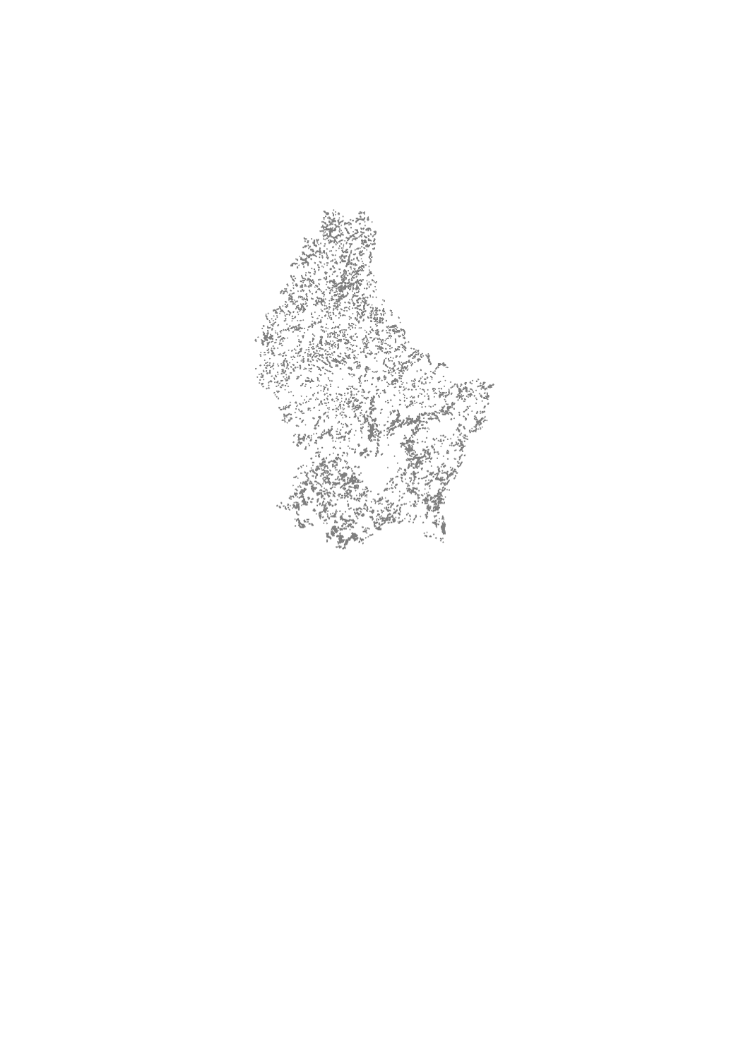
Biotope cadaster of the open landscapes
The biotope cadaster of the open landscapes is a cartography of rare and threatened habitats of the rural area in open landscapes, which are protected by article 17 of the law of 18 July 2018 concerning the protection of nature and natural resources. This inventory aims to determine and locate rare and threatened habitats and biotopes whose identification in the field is difficult or ambiguous. Clearly identifiable biotopes such as hedgerows, scrubs and groves, as well as rivers were not mapped as part of this inventory, but are still subject to the strict protection regime under article 17 of the above mentioned nature protection law. The measures of reduction, destruction or deterioration, which are prohibited, are specified in the Grand-Ducal Regulation of August 1st, 2018 establishing protected biotopes, habitats of community interest and habitats of species of community interest for which the conservation status was assessed as unfavorable.
Simple
- Date (Creation)
- 2014-03-06T00:00:00
- Date (Revision)
- 2021-05-27T00:00:00
- Citation identifier
- / f46eace4-8a83-4fa5-b2dd-a417a46fc720
- Presentation form
- Digital map
- Status
- On going
- Point of contact
-
Organisation name Individual name Electronic mail address Role Administration de la nature et des forêts
Michèle Federspiel
- Maintenance and update frequency
- As needed
-
Entités au Grand-Duché de Luxembourg
-
-
Grand-Duché du Luxembourg
-
- Keywords
-
- Keywords
-
-
biotop
-
cadaster
-
open landscapes
-
ouverts
-
geoportail.lu
-
-
geoportail.lu themes
-
-
Agriculture
-
Environment
-
Main
-
PAG
-
-
geoportail.lu structure
-
-
Agriculture>Biotope cadaster of the open landscapes
-
Environment>Biotope cadaster of the open landscapes
-
Main>Environment, Biology and Geology>Habitats and biotopes>Biotope cadaster of the open landscapes
-
PAG>National planning data>Environmental protection>Biotope cadaster of the open landscapes
-
- Use constraints
- Other restrictions
- Other constraints
-
Creative Commons 1.0 Universal (CC0 1.0) Public Domain Dedication
- Spatial representation type
- Vector
- Denominator
- 0
- Language
- Français
- Language
- Deutsch
- Character set
- UTF8
- Topic category
-
- Environment
))
- Reference system identifier
- EPSG / http://www.opengis.net/def/crs/EPSG/0/2169
- OnLine resource
-
Protocol Linkage Name OGC:WMS-1.3.0-http-get-map
https://wms.geoportail.lu/public_map_layers/service 1370
WWW:LINK-1.0-http--link
https://data.public.lu/fr/datasets/biotope-cadaster-of-the-open-landscapes-2/
- OnLine resource
-
Protocol Linkage Name https://map.geoportail.lu/theme/main?version=3&zoom=8&X=667917&Y=6394482&lang=fr&layers=1367&opacities=1 Point elements
- OnLine resource
-
Protocol Linkage Name https://map.geoportail.lu/theme/main?version=3&zoom=8&X=667917&Y=6394482&lang=fr&layers=1368&opacities=1 Orchards
- OnLine resource
-
Protocol Linkage Name https://map.geoportail.lu/theme/main?version=3&zoom=8&X=667917&Y=6394482&lang=fr&layers=1369&opacities=1 Surface elements without orchards
- OnLine resource
-
Protocol Linkage Name https://map.geoportail.lu/theme/main?version=3&zoom=8&X=667917&Y=6394482&lang=fr&layers=1370&opacities=1 Buffer
Metadata
- File identifier
- f46eace4-8a83-4fa5-b2dd-a417a46fc720 XML
- Metadata language
- Français
- Character set
- UTF8
- Hierarchy level
- Dataset
- Hierarchy level name
-
dataset
- Date stamp
- 2022-04-19T10:51:08
- Metadata standard name
-
ISO 19115:2003/19139
- Metadata standard version
-
1.0
- Metadata author
-
Organisation name Individual name Electronic mail address Role Administration de la nature et des forêts
Michèle Federspiel
- Other language
-
Language Character encoding Luxembourgish; Letzeburgesch UTF8 English UTF8 German UTF8 French UTF8
)))