 geocatalogue.geoportail.lu
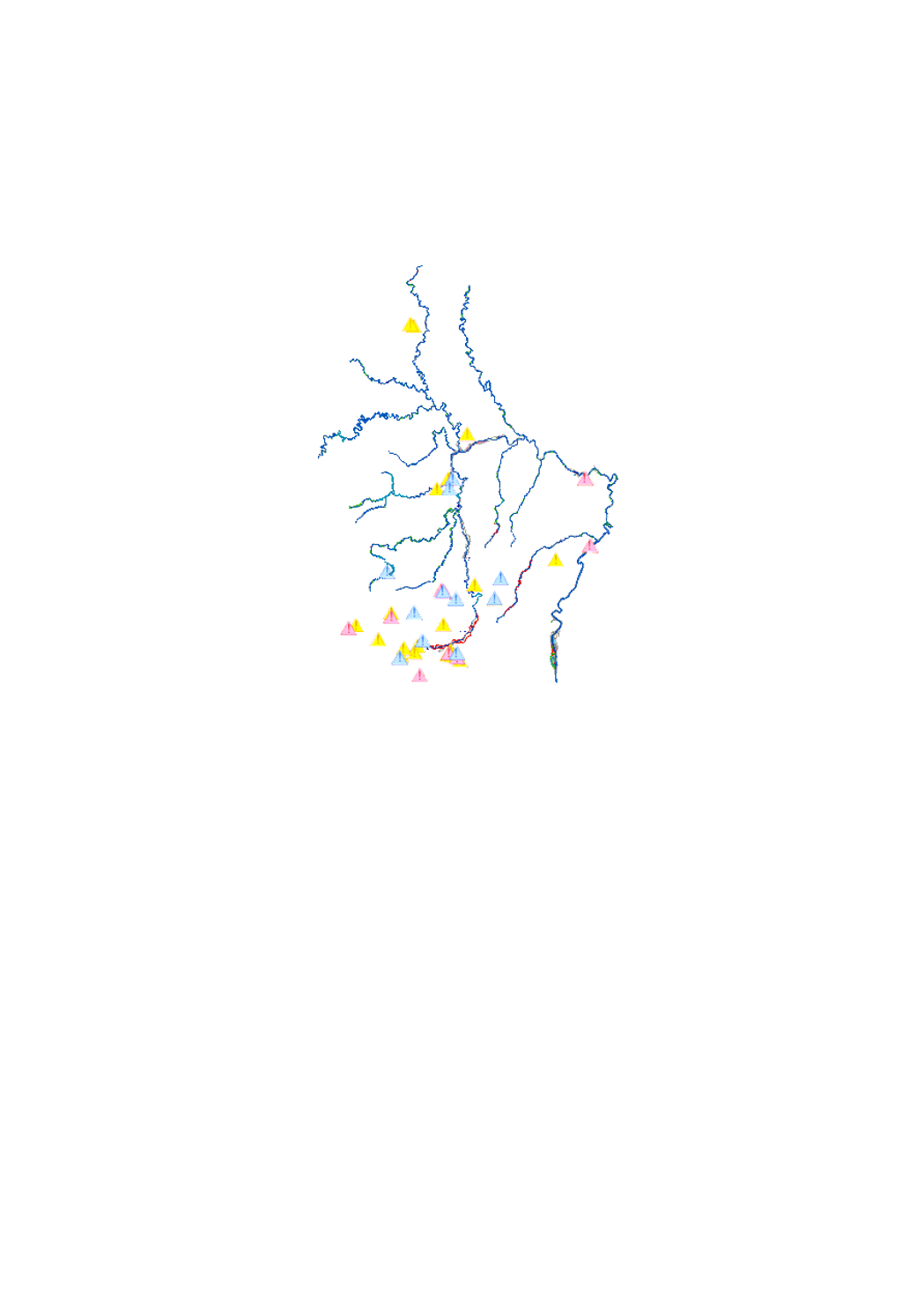
HQ extreme (floods with a low probability)
scenario of the flood risk map which shows the floodplain of a modeled extreme flood event, as demanded by the floods directive 2007/60/EC
Simple
- Date (Creation)
- 2010-12-22T00:00:00
- Date (Revision)
- 2013-12-22T00:00:00
- Citation identifier
- / 4a2c49db-ca05-4278-8107-c4d4df232422
- Presentation form
- Digital map
- Status
- On going
- Point of contact
-
Organisation name Individual name Electronic mail address Role Administration de la gestion de l'eau
Division de l'hydrologie
Author
- Maintenance and update frequency
- As needed
-
Entités au Grand-Duché de Luxembourg
-
-
Grand-Duché du Luxembourg
-
- Keywords
-
-
maps, risk zones, extreme flood event, modeled flood event, floodplain
-
- Keywords
-
-
geoportail.lu
-
-
geoportail.lu themes
-
-
Water
-
Lenoz
-
Lintgen
-
Main
-
-
geoportail.lu structure
-
-
Water>Floods directive [FD]>Flood risk maps 2013
-
Lenoz>Floods directive [FD]>Flood risk maps 2013
-
Lintgen>Water data>Flood risk maps 2013
-
Main>Environment, Biology and Geology>Floods directive [FD]>Flood risk maps 2013
-
- Use limitation
-
non
- Access constraints
- Other restrictions
- Other constraints
-
none
- Spatial representation type
- Vector
- Denominator
- 0
- Language
- Français
- Character set
- UTF8
- Topic category
-
- Environment
- Inland waters
- Geoscientific information
))
- Reference system identifier
- EPSG / http://www.opengis.net/def/crs/EPSG/0/2169
- Distribution format
-
Name Version SHAPE
DXF
- OnLine resource
-
Protocol Linkage Name https://map.geoportail.lu/theme/main?version=3&zoom=8&X=667917&Y=6394482&lang=fr&layers=565&opacities=1 HQ extreme (floods with a low probability)
- Statement
-
Hydrological model out of the Interreg III B project TIMIS flood (Transnational Internet Map Information System on Flooding) adapted in order to satisfy the requirements of the floods directive 2007/60/EC
Metadata
- File identifier
- 4a2c49db-ca05-4278-8107-c4d4df232422 XML
- Metadata language
- Français
- Character set
- UTF8
- Hierarchy level
- Dataset
- Hierarchy level name
-
dataset
- Date stamp
- 2021-02-04T23:07:50
- Metadata standard name
-
ISO 19115:2003/19139
- Metadata standard version
-
1.0
- Metadata author
-
Organisation name Individual name Electronic mail address Role Administration de la gestion de l'eau
Division de l'hydrologie
Point of contact
- Other language
-
Language Character encoding French UTF8 Luxembourgish; Letzeburgesch UTF8 English UTF8 German UTF8
)))