 geocatalogue.geoportail.lu
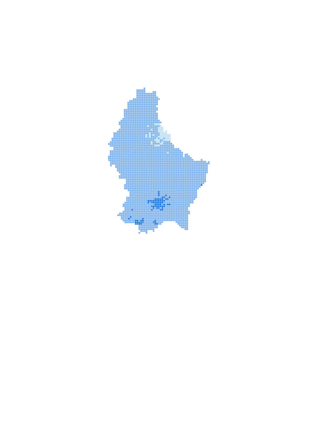
Geostatistical Interpolation O3
The geostatistical interpolation map shows in real time the most probable distribution of the pollutant ozone between the different fixed measurement points that make up the telemetric network of Luxembourg, this at a resolution of 1km2.
Simple
- Citation identifier
- / 4ebe5c4d-2318-4caa-bace-3e3784a41509
- Presentation form
- Digital map
- Status
- On going
- Maintenance and update frequency
- As needed
-
Entités au Grand-Duché de Luxembourg
-
-
Grand-Duché du Luxembourg
-
- Keywords
-
-
air quality, modelling, geostatistical interpolation, ozone
-
- Keywords
-
-
geoportail.lu
-
-
geoportail.lu themes
-
-
Environment
-
-
geoportail.lu structure
-
-
Environment>Air quality>Modelling
-
- Access constraints
- Other restrictions
- Spatial representation type
- Vector
- Denominator
- 0
- Character set
- UTF8
N
S
E
W
))
- Reference system identifier
- EPSG / http://www.opengis.net/def/crs/EPSG/0/2169
- OnLine resource
-
Protocol Linkage Name OGC:WMS-1.3.0-http-get-map
https://wms.geoportail.lu/public_map_layers/service 1430
https://map.geoportail.lu/theme/main?version=3&zoom=8&X=667917&Y=6394482&lang=fr&layers=1430&opacities=1 Geostatistical Interpolation O3
Metadata
- File identifier
- 4ebe5c4d-2318-4caa-bace-3e3784a41509 XML
- Metadata language
- Français
- Character set
- UTF8
- Hierarchy level
- Dataset
- Hierarchy level name
-
dataset
- Date stamp
- 2021-07-13T13:37:42
- Metadata standard name
-
ISO 19115:2003/19139
- Metadata standard version
-
1.0
- Metadata author
-
Organisation name Individual name Electronic mail address Role Administration de l'Environnement - Unité Surveillance et Évaluation de l'Environnement
Claudine Schiltz
Point of contact Administration de l'Environnement
- Other language
-
Language Character encoding Luxembourgish; Letzeburgesch UTF8 English UTF8 German UTF8 French UTF8
)))