 geocatalogue.geoportail.lu
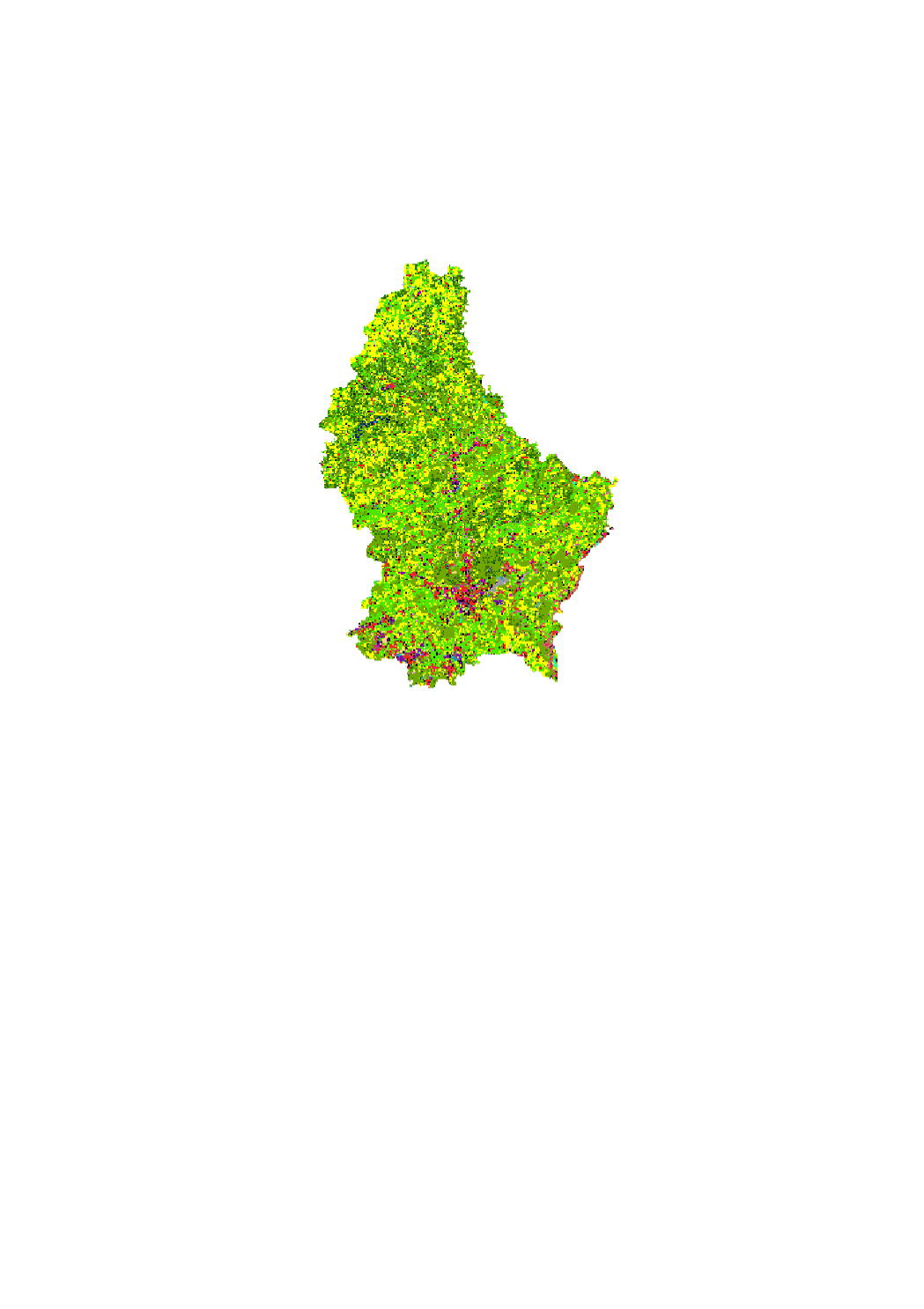
Landuse 2015
Land Use in terms of functional dimension corresponds to the description of areas in terms of their socio-economic purpose.
Simple
- Citation identifier
- / 5260f241-4bb8-467f-9eff-3782438c928e
- Presentation form
- Digital map
- Status
- On going
- Maintenance and update frequency
- As needed
-
Entités au Grand-Duché de Luxembourg
-
-
Grand-Duché du Luxembourg
-
- Keywords
-
-
Landuse, land use
-
- Keywords
-
-
geoportail.lu
-
-
geoportail.lu themes
-
-
Environment
-
Main
-
-
geoportail.lu structure
-
-
Environment>Land use
-
Main>Land surface>Land use
-
- Access constraints
- Other restrictions
- Spatial representation type
- Vector
- Denominator
- 0
- Character set
- UTF8
))
- Reference system identifier
- EPSG / http://www.opengis.net/def/crs/EPSG/0/2169
- OnLine resource
-
Protocol Linkage Name https://map.geoportail.lu/theme/main?version=3&zoom=8&X=667917&Y=6394482&lang=fr&layers=1692&opacities=1 Landuse 2015
Metadata
- File identifier
- 5260f241-4bb8-467f-9eff-3782438c928e XML
- Metadata language
- Français
- Character set
- UTF8
- Hierarchy level
- Dataset
- Hierarchy level name
-
dataset
- Date stamp
- 2021-02-04T22:37:01
- Metadata standard name
-
ISO 19115:2003/19139
- Metadata standard version
-
1.0
- Metadata author
-
Organisation name Individual name Electronic mail address Role Département de l'aménagement du territoire
Ministère de l’Environnement, du Climat et du Développement durable & Ministère de l’Énergie et de l’Aménagement du territoire
Patrick.Grivet@mev.etat.lu; Tom.Fourmann@mat.etat.lu; Marco.Tholl@mat.etat.lu
Point of contact
- Other language
-
Language Character encoding French UTF8 Luxembourgish; Letzeburgesch UTF8 English UTF8 German UTF8
)))