 geocatalogue.geoportail.lu
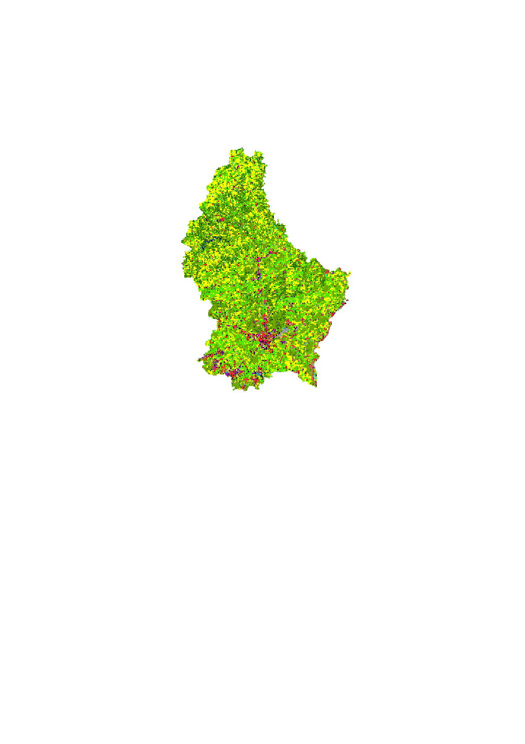
Utilisation du sol 2015
Landnotzung 2015
Landuse 2015
Landnutzung 2015
L'utilisation du sol selon la dimension fonctionnelle renvoie à la description des zones selon leur finalité socio-économique.
D'Buedemnotzung no senger funktioneller Dimensioun entsprécht enger Beschreiwung vu Flächen opgrond hirem sozioekonomeschen Zweck.
Die Bodennutzung in Hinblick auf die funktionale Dimension entspricht der Beschreibung von Gebieten bezüglich ihres sozioökonomischen Zwecks.
Land Use in terms of functional dimension corresponds to the description of areas in terms of their socio-economic purpose.
Simple
-
IdentificateurIdentificateurCitation identifierIdentifikator
- / 5260f241-4bb8-467f-9eff-3782438c928e
-
Forme de la présentationForme de la présentationPresentation formPräsentationsform
-
Carte numériqueCarte numériqueDigital mapDigitale Karte
-
EtatEtatStatusBearbeitungsstatus
-
Mise à jour continueMise à jour continueOn goingKontinuierliche Aktualisierung
-
Fréquence de mise à jourFréquence de mise à jourMaintenance and update frequencyÜberarbeitungsintervall
-
Lorsque nécessaireLorsque nécessaireAs neededBei Bedarf
-
Entités au Grand-Duché de Luxembourg
-
-
Grand-Duché du Luxembourg
Grand-Duché du Luxembourg
Grand-Duché du Luxembourg
Grand-Duché du Luxembourg
-
- Keywords
-
-
Utilisation du sol
Landnotzung, Buedemnotzung
Landnutzung, Bodennutzung
Landuse, land use
-
- Keywords
-
-
geoportail.lu
geoportail.lu
geoportail.lu
geoportail.lu
-
-
geoportail.lu themes
-
-
Environnement
Emwelt
Environment
Umwelt
-
Grand Public
Allgemeng
Main
Allgemein
-
-
geoportail.lu structure
-
-
Environnement>Occupation du sol
Environnement>Occupation du sol>Buedemnotzung
Environment>Land use
Umwelt>Bodennutzung
-
Grand Public>Couverture du sol>Occupation du sol
Grand Public>Couverture du sol>Occupation du sol>Buedemnotzung
Main>Land surface>Land use
Allgemein>Oberflächendarstellung>Bodennutzung
-
-
Contraintes d'accèsContraintes d'accèsAccess constraintsZugriffseinschränkungen
-
Autres restrictionsAutres restrictionsOther restrictionsBenutzerdefinierte Einschränkungen
-
Type de représentation spatialeType de représentation spatialeSpatial representation typeRäumliche Darstellungsart
-
VecteurVecteurVectorVektor
-
Dénominateur de l'échelleDénominateur de l'échelleDenominatorMaßstabszahl
- 0
-
Encodage des caractèresEncodage des caractèresCharacter setZeichensatz
-
Utf8Utf8UTF8Utf8
))
-
Nom du système de référenceNom du système de référenceReference system identifierIdentifikator des Referenzsystems
- EPSG / http://www.opengis.net/def/crs/EPSG/0/2169
- OnLine resource
-
Protocol Linkage Name https://map.geoportail.lu/theme/main?version=3&zoom=8&X=667917&Y=6394482&lang=fr&layers=1692&opacities=1 Utilisation du sol 2015
Landnotzung 2015
Landuse 2015
Landnutzung 2015
Metadata
-
Identifiant de la ficheIdentifiant de la ficheFile identifierMetadatensatzidentifikator
- 5260f241-4bb8-467f-9eff-3782438c928e XML
-
LangueLangueMetadata languageSprache
- Français
-
Jeu de caractèresJeu de caractèresCharacter setZeichensatz
-
Utf8Utf8UTF8Utf8
-
Type de ressourceType de ressourceHierarchy levelHierarchieebene
-
Jeu de donnéesJeu de donnéesDatasetDatenbestand
- Hierarchy level name
-
dataset
-
Date des métadonnéesDate des métadonnéesDate stampDatum
- 2021-02-04T22:37:01
- Metadata standard name
-
ISO 19115:2003/19139
- Metadata standard version
-
1.0
- Metadata author
-
Organisation name Individual name Electronic mail address Role Département de l'aménagement du territoire
Ministère de l’Environnement, du Climat et du Développement durable & Ministère de l’Énergie et de l’Aménagement du territoire
Patrick.Grivet@mev.etat.lu; Tom.Fourmann@mat.etat.lu; Marco.Tholl@mat.etat.lu
Point de contactPoint de contactPoint of contactAnsprechpartner
- Other language
-
Language Character encoding FrançaisFranséischFrenchFranzösischUtf8Utf8UTF8Utf8LuxembourgeoisLëtzebuergeschLuxembourgish; LetzeburgeschLuxemburgischUtf8Utf8UTF8Utf8AnglaisEngleschEnglishEnglischUtf8Utf8UTF8Utf8AllemandDäitschGermanDeutschUtf8Utf8UTF8Utf8
)))