 geocatalogue.geoportail.lu
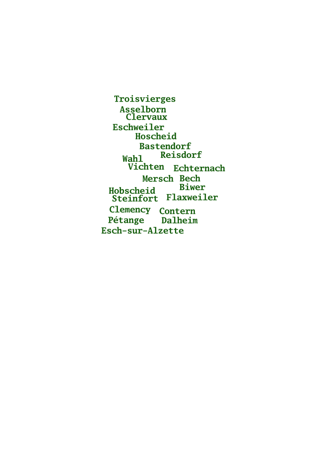
Names of the cadastral municipalities
This layer shows the names of the 130 municipalities as they existed in the beginning of the 19th century, when the cadastre was created in Luxemburg.
Simple
- Date (Creation)
- 1829-01-01T00:00:00
- Date (Revision)
- 1829-01-01T00:00:00
- Citation identifier
- / 5ae8fdfb-bb8f-4f72-b7ee-36c7664fe4b5
- Presentation form
- Digital map
- Status
- On going
- Point of contact
-
Organisation name Individual name Electronic mail address Role Administration du Cadastre et de la Topographie
Service du géoportail et de l'ILDG (ACT)
Point of contact
- Maintenance and update frequency
- As needed
-
Entités au Grand-Duché de Luxembourg
-
-
Grand-Duché du Luxembourg
-
- Keywords
-
- Keywords
-
-
administrative boundaries
-
boundary
-
administration
-
subdivision
-
territory
-
geoportail.lu
-
-
geoportail.lu themes
-
-
Urban Farming
-
Main
-
-
geoportail.lu structure
-
-
Urban Farming>Cadastral data
-
Main>Geographical location>Cadastral data
-
- Use constraints
- Other restrictions
- Other constraints
-
Creative Commons 1.0 Universal (CC0 1.0) Public Domain Dedication
- Spatial representation type
- Vector
- Denominator
- 2500
- Language
- Lëtzebuergesch
- Language
- Deutsch
- Language
- Français
- Language
- English
- Character set
- UTF8
- Topic category
-
- Structure
))
- Reference system identifier
- EPSG / http://www.opengis.net/def/crs/EPSG/0/2169
- Distribution format
-
Name Version SHAPE
DXF
DWG
- OnLine resource
-
Protocol Linkage Name OGC:WMS-1.3.0-http-get-map
https://wms.geoportail.lu/public_map_layers/service 350
WWW:LINK-1.0-http--link
https://data.public.lu/fr/datasets/limites-administratives-du-grand-duche-de-luxembourg/
- OnLine resource
-
Protocol Linkage Name https://map.geoportail.lu/theme/main?version=3&zoom=8&X=667917&Y=6394482&lang=fr&layers=350&opacities=1 Cadastral municipalities (names)
- Statement
-
Data of the original cadastre on paper media, scanned and digitized.
Metadata
- File identifier
- 5ae8fdfb-bb8f-4f72-b7ee-36c7664fe4b5 XML
- Metadata language
- Français
- Character set
- UTF8
- Hierarchy level
- Dataset
- Hierarchy level name
-
dataset
- Date stamp
- 2021-02-04T22:26:14
- Metadata standard name
-
ISO 19115:2003/19139
- Metadata standard version
-
1.0
- Metadata author
-
Organisation name Individual name Electronic mail address Role Administration du Cadastre et de la Topographie
Service du géoportail et de l'ILDG (ACT)
Point of contact
- Other language
-
Language Character encoding French UTF8 Luxembourgish; Letzeburgesch UTF8 English UTF8 German UTF8
)))