 geocatalogue.geoportail.lu
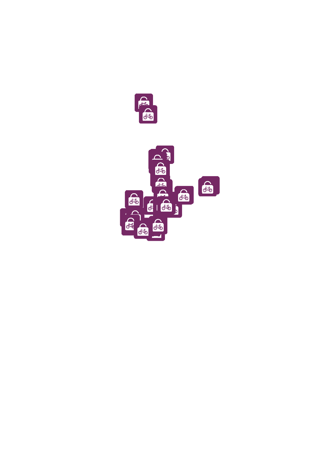
mBox
The mbox is a safe space where you can park your bike. These bike stations are located near the public transport to facilitate a fast and convenient switch from bike to bus or railway and vice versa.
Simple
- Date (Creation)
- 2015-07-01T00:00:00
- Citation identifier
- / 77780c80-a2dc-4dc2-96ac-c29e2ad15495
- Presentation form
- Digital map
- Status
- On going
- Point of contact
-
Organisation name Individual name Electronic mail address Role Verkéiersverbond
Service MNT
Point of contact
- Maintenance and update frequency
- As needed
-
Entités au Grand-Duché de Luxembourg
-
-
Grand-Duché du Luxembourg
-
- Keywords
-
-
mBox, bicycle, shelter
-
- Keywords
-
-
geoportail.lu
-
-
geoportail.lu themes
-
-
Main
-
PAG
-
-
geoportail.lu structure
-
-
Main>Infrastructure and communication>Transport networks
-
PAG>National planning data>Transport networks
-
- Access constraints
- Other restrictions
- Other constraints
-
an agreement for data exchange with the data owner is required
- Spatial representation type
- Vector
- Denominator
- 0
- Language
- Français
- Character set
- UTF8
- Topic category
-
- Transportation
N
S
E
W
))
- Reference system identifier
- EPSG / http://www.opengis.net/def/crs/EPSG/0/2169
- OnLine resource
-
Protocol Linkage Name OGC:WMS-1.3.0-http-get-map
https://wms.geoportail.lu/public_map_layers/service 682
https://map.geoportail.lu/theme/main?version=3&zoom=8&X=667917&Y=6394482&lang=fr&layers=682&opacities=1 mBox
Metadata
- File identifier
- 77780c80-a2dc-4dc2-96ac-c29e2ad15495 XML
- Metadata language
- Français
- Character set
- UTF8
- Hierarchy level
- Dataset
- Hierarchy level name
-
dataset
- Date stamp
- 2021-02-04T23:53:50
- Metadata standard name
-
ISO 19115:2003/19139
- Metadata standard version
-
1.0
- Metadata author
-
Organisation name Individual name Electronic mail address Role Verkéiersverbond
Service MNT
Point of contact
- Other language
-
Language Character encoding French UTF8 Luxembourgish; Letzeburgesch UTF8 English UTF8 German UTF8
)))