 geocatalogue.geoportail.lu
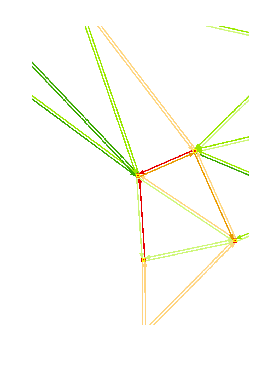
Qualité de connexion du transport individuel motorisé aux heures de pointe 2017
Quality of motorized private transport during the rush hour 2017
Verbindungsqualität des motorisierten Individualverkehrs in den Spitzenstunden 2017
Qualité de connexion du transport individuel motorisé aux heures de pointe (2017) sur base de la vitesse à vol d'oiseau de la connexion la plus rapide entre les pôls supérieurs Grande Région
- Sources: FAU, Google Maps 2017 (Dates d'interrogation des données: 27-29.06.2017)
Connection quality of the motorized private transport (2017) based on the linear distance speed of the fastest connection between the major centres of the Greater Region (working day around 8 am)
- Sources: FAU, Google Maps 2017 (Data query dates: 27-29.06.2017)
Verbindungsqualität des motorisierten Individualverkehrs in den Spitzenstunden(2017) auf Grundlage der Luftliniengeschwindigkeit der jeweils schnellsten Verbindung zwischen den Oberzentren der Großregion
- Quellen: FAU, Google Maps 2017 (Dates d'interrogation des données: 27-29.06.2017)
Simple
-
Date (Creation)Datumsangaben (Erstellung)Date (Création)
- 2018-11-20T00:00:00
-
Citation identifierIdentifikatorIdentificateur
- / ca7aa4d1-21c8-4168-a58c-e4770e5714d6
-
Presentation formPräsentationsformForme de la présentation
-
Digital mapDigitale KarteCarte numérique
-
StatusBearbeitungsstatusEtat
-
CompletedAbgeschlossenFinalisé
- Point of contact
-
Organisation name Individual name Electronic mail address Role SIG-GR - Ministère de l'Energie et de l'Aménagement du territoire - Département de l'aménagement du territoire
Thierry Hengen
AuthorAutorAuteur
-
Maintenance and update frequencyÜberarbeitungsintervallFréquence de mise à jour
-
As neededBei BedarfLorsque nécessaire
- Keywords
-
-
accessibilité, transport individuel motorisé, pôles supérieurs
accessibility, motorized private transport, major centres
Erreichbarkeit, motorisierter Individualverkehr, Oberzentren
-
-
Entités dans la Grande Région
-
-
Grande Région
Greater Region
Großregion
-
-
gis-gr.eu themes
-
-
Transports
Transport
Verkehr
-
-
gis-gr.eu structure
-
-
Transports>Accessibilité des pôles supérieurs
Transport> Accessibility of the major centres
Verkehr>Erreichbarkeit der Oberzentren
-
- Keywords
-
-
gis-gr.eu
gis-gr.eu
gis-gr.eu
-
-
Access constraintsZugriffseinschränkungenContraintes d'accès
-
Other restrictionsBenutzerdefinierte EinschränkungenAutres restrictions
-
Spatial representation typeRäumliche DarstellungsartType de représentation spatiale
-
VectorVektorVecteur
-
DenominatorMaßstabszahlDénominateur de l'échelle
- 250000
-
LanguageSpracheLangue de la ressource
- Deutsch
-
LanguageSpracheLangue de la ressource
- Français
-
LanguageSpracheLangue de la ressource
- English
-
Character setZeichensatzEncodage des caractères
-
UTF8Utf8Utf8
-
Topic categoryISO-ThematikCatégorie ISO
-
-
TransportationVerkehrswesenInfrastructures de transport
-
SocietyGesellschaftSociété
-
))
-
Reference system identifierIdentifikator des ReferenzsystemsNom du système de référence
- EPSG / http://www.opengis.net/def/crs/EPSG/0/2169
- Distribution format
-
Name Version SHAPE
PDF
JPEG
- OnLine resource
-
Protocol Linkage Name https://map.gis-gr.eu/theme/transport?version=3&zoom=8&X=667917&Y=6394482&lang=en&layers=1794&opacities=1&bgLayer=basemap_2015_global Carte interactive
Interactive map
Interaktive Karte
WWW:LINK-1.0-http--link
https://data.public.lu/en/datasets/quality-of-motorized-private-transport-during-the-rush-hour-2017 Open data
OGC:WMS-1.3.0-http-get-map
http://wms.gis-gr.eu/service?service=WMS&version=1.3.0&request=getCapabilities GR/Accessibility_car_major_centres_2017/Connections_major_centres_1
OGC:WMS-1.3.0-http-get-map
http://wms.gis-gr.eu/service?service=WMS&version=1.3.0&request=getCapabilities GR/Accessibility_car_major_centres_2017/Connections_major_centres_2
OGC:WMS-1.3.0-http-get-map
http://wms.gis-gr.eu/service?service=WMS&version=1.3.0&request=getCapabilities GR/Accessibility_car_major_centres_2017/Major_centres
Metadata
-
File identifierMetadatensatzidentifikatorIdentifiant de la fiche
- ca7aa4d1-21c8-4168-a58c-e4770e5714d6 XML
-
Metadata languageSpracheLangue
- Français
-
Character setZeichensatzJeu de caractères
-
UTF8Utf8Utf8
-
Hierarchy levelHierarchieebeneType de ressource
-
DatasetDatenbestandJeu de données
- Hierarchy level name
-
dataset
-
Date stampDatumDate des métadonnées
- 2021-05-10T15:41:20
- Metadata standard name
-
ISO 19115:2003/19139
- Metadata standard version
-
1.0
- Metadata author
-
Organisation name Individual name Electronic mail address Role SIG-GR - Ministère de l'Energie et de l'Aménagement du territoire - Département de l'aménagement du territoire
Thierry Hengen
Point of contactAnsprechpartnerPoint de contact
- Other language
-
Language Character encoding EnglishEnglischAnglaisUTF8Utf8Utf8GermanDeutschAllemandUTF8Utf8Utf8FrenchFranzösischFrançaisUTF8Utf8Utf8
)))