 geocatalogue.geoportail.lu
Imagery base maps earth cover
Type of resources
Available actions
Topics
Keywords
Contact for the resource
Provided by
Groups
Years
Representation types
Update frequencies
status
Scale
-
Aerial images which have been used for the photogrammetric restitution of the topographic maps. These images are not georeferenced nor orthorectified. The data in the 1:30000 scale covers the entire country.
-
Aerial images which have been used for the photogrammetric restitution of the topographic maps. These images are not georeferenced nor orthorectified. The data in the 1:30000 scale covers the entire country.
-

This layer contains the regulations contained in the land use plan of the Remich municipality. The information in this geoportal layer have no legal value and must be considered as mere indications related to the original document. The original plan can be viewed in the Préizerdaul administration.
-

This layer contains the regulations contained in the land use plan of the municipality of Lintgen. The information in this geoportal layer has no legal value and must be considered as mere indications related to the original document. The original plan can be viewed in the local administration.
-
Aerial images which have been used for the photogrammetric restitution of the 1954 topographic map. These images are not georeferenced nor orthorectified. The data in the 1:25000 scale covers entire country.
-
Aerial images which have been used for the photogrammetric restitution of the 1964 topographic map. These images are not georeferenced nor orthorectified. The data in the 1:20000 scale covers the entire country.
-

Land use in the Greater Region according to Corine Land Cover 2000 - Source: EEA - Corine Land Cover 2000 European seamless vector database
-
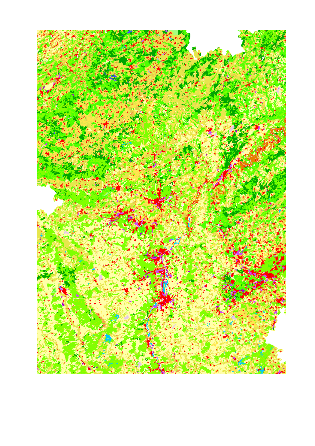
Land use in the Greater Region according to Corine Land Cover 201 - Source: European Environment Agency - Corine Land Cover (CLC) 2018 v20
-

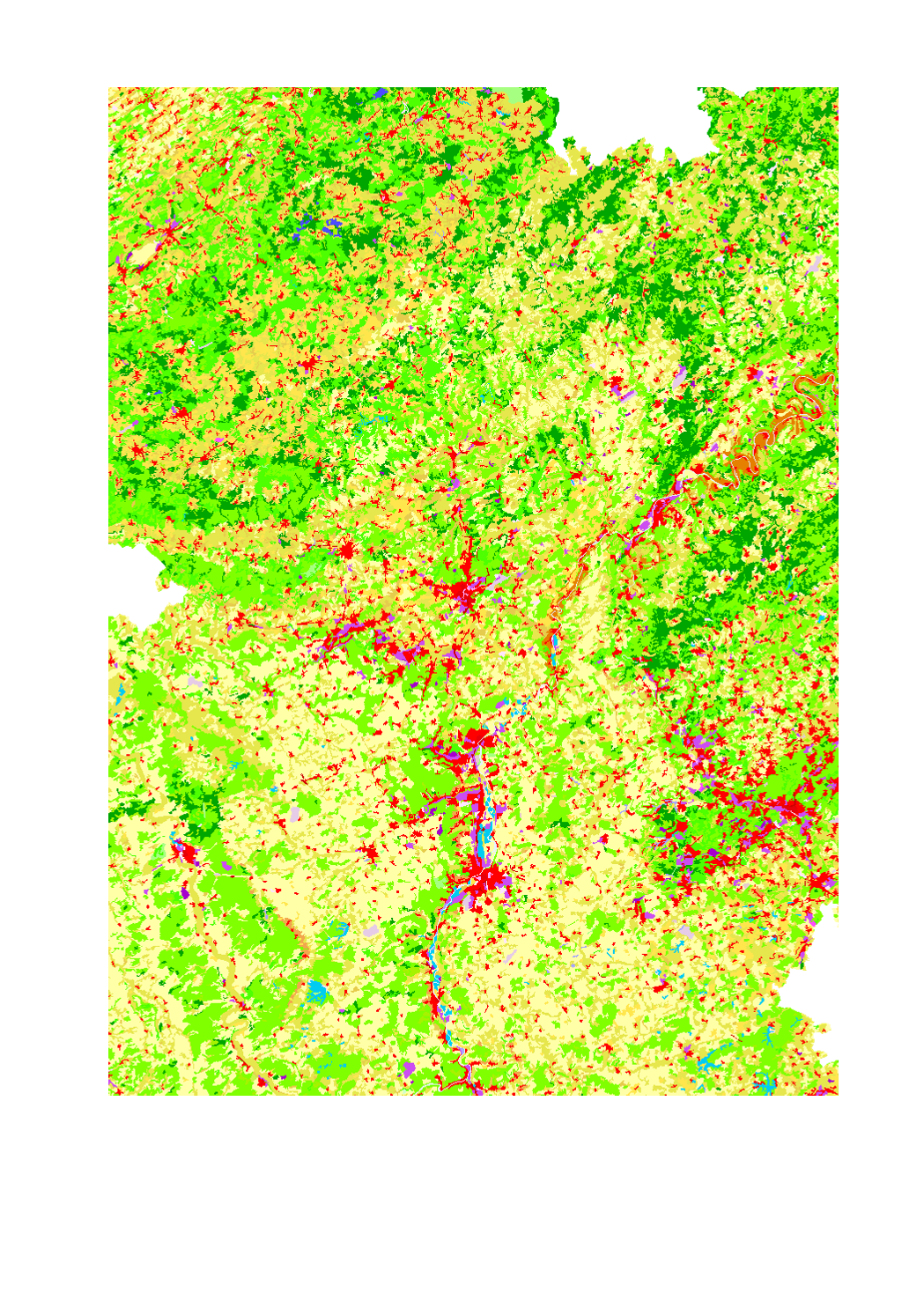
Land use in the Greater Region according to Corine Land Cover 2012 - Source: EEA - Corine Land Cover 2012 European seamless vector database: STATUS 2012 layer (CLC12)
-
Land use in the Greater Region according to Corine Land Cover 2006 - Source: EEA - Corine Land Cover 2006 European seamless vector database: version 15 (08/2011)